|
|
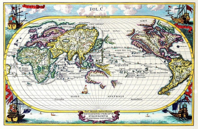
Ancient Maps
|
• Maritime activity
The history of ancient navigation began in earnest when men took to the sea in planked boats and ships propelled by sails hung on masts, like the Ancient Egyptian Khufu ship from the mid-3rd millennium BC. According to the Greek historian Herodotus, Necho II sent out an expedition of Phoenicians, which in three years sailed from the Red Sea around Africa to the mouth of the Nile. Many current historians tend to believe Herodotus on this point, even though Herodotus himself was in disbelief that the Phoenicians had accomplished the act.
Hannu was an ancient Egyptian explorer (around 2750 BC) and the first explorer of whom there is any knowledge. He made the first recorded exploring expedition, writing his account of his exploration in stone. Hannu travelled along the Red Sea to Punt, and sailed to what is now part of eastern Ethiopia and Somalia. He returned to Egypt with great treasures, including precious myrrh, metal and wood.
|
|