|
|
Earth Hurricane
|
Observation and forecasting
• Observation
Intense tropical cyclones pose a particular observation challenge, as they are a dangerous oceanic phenomenon, and weather stations, being relatively sparse, are rarely available on the site of the storm itself. Surface observations are generally available only if the storm is passing over an island or a coastal area, or if there is a nearby ship. Usually, real-time measurements are taken in the periphery of the cyclone, where conditions are less catastrophic and its true strength cannot be evaluated. For this reason, there are teams of meteorologists that move into the path of tropical cyclones to help evaluate their strength at the point of landfall.
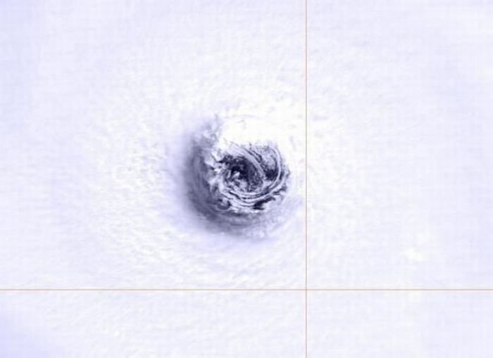
Tropical cyclones far from land are tracked by weather satellites capturing visible and infrared images from space, usually at half-hour to quarter-hour intervals. As a storm approaches land, it can be observed by land-based Doppler radar. Radar plays a crucial role around landfall by showing a storm's location and intensity every several minutes.
|
|