|
|
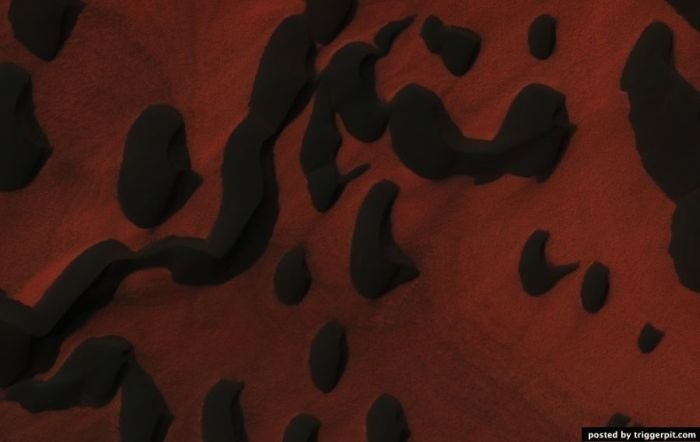
Mars Surface
|
During the seventeenth century, Tycho Brahe measured the diurnal parallax of Mars that Johannes Kepler used to make a preliminary calculation of the relative distance to the planet. When the telescope became available, the diurnal parallax of Mars was again measured in an effort to determine the Sun-Earth distance. This was first performed by Giovanni Domenico Cassini in 1672. However, the early parallax measurements were hampered by the quality of the instruments. The only occultation of Mars by Venus observed was that of October 13, 1590, seen by Michael Maestlin at Heidelberg. In 1610, Mars was viewed by Galileo Galilei, who was first to see it via telescope. The first person to draw a map of Mars that displayed any terrain features was the Dutch astronomer Christiaan Huygens.
Martian 'canals'
By the 19th century, the resolution of telescopes reached a level sufficient for surface features to be identified. In September 1877, a perihelic opposition of Mars occurred on September 5. In that year, Italian astronomer Giovanni Schiaparelli used a 22 cm telescope in Milan to help produce the first detailed map of Mars. These maps notably contained features he called canali, which were later shown to be an optical illusion. These canali were supposedly long straight lines on the surface of Mars to which he gave names of famous rivers on Earth. His term, which means 'channels' or 'grooves', was popularly mistranslated in English as canals.
|
|


