|
|
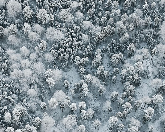
Aerial Photography By Bernhard Lang
|
- In some digital cameras for aerial photogrammetry images from several imaging elements, sometimes with separate lenses, are geometrically corrected and combined to one image in the camera.
• Orthophotos
Vertical photographs are often used to create orthophotos, photographs which have been geometrically "corrected" so as to be usable as a map. In other words, an orthophoto is a simulation of a photograph taken from an infinite distance, looking straight down from nadir. Perspective must obviously be removed, but variations in terrain should also be corrected for. Multiple geometric transformations are applied to the image, depending on the perspective and terrain corrections required on a particular part of the image.
Orthophotos are commonly used in geographic information systems, such as are used by mapping agencies (e.g. Ordnance Survey) to create maps. Once the images have been aligned, or 'registered', with known real-world coordinates, they can be widely deployed.
|
|