|
|
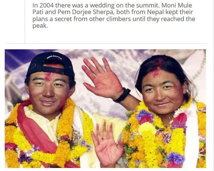
Interesting Facts About Mount Everest
|
A detailed photogrammetric map (at a scale of 1:50,000) of the Khumbu region, including the south side of Mount Everest, was made by Erwin Schneider as part of the 1955 International Himalayan Expedition, which also attempted Lhotse. An even more detailed topographic map of the Everest area was made in the late 1980s under the direction of Bradford Washburn, using extensive aerial photography.
On 9 October 2005, after several months of measurement and calculation, the Chinese Academy of Sciences and State Bureau of Surveying and Mapping officially announced the height of Everest as 8,844.43 m (29,017.16 ft) with accuracy of ±0.21 m (0.69 ft). They claimed it was the most accurate and precise measurement to date. This height is based on the actual highest point of rock and not on the snow and ice covering it. The Chinese team also measured a snow/ice depth of 3.5 m (11 ft), which is in agreement with a net elevation of 8,848 m (29,029 ft). The snow and ice thickness varies over time, making a definitive height of the snow cap impossible to determine.
It is thought that the plate tectonics of the area are adding to the height and moving the summit northeastwards. Two accounts suggest the rates of change are 4 mm (0.16 in) per year (upwards) and 3 to 6 mm (0.12 to 0.24 in) per year (northeastwards), but another account mentions more lateral movement (27 mm or 1.1 in), and even shrinkage has been suggested.
|
|