|
|
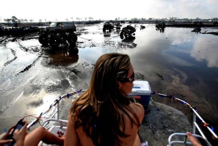
Okeechobee Mudfest, Florida, United States
|
Lake Okeechobee sits in a shallow geological trough that also underlies the Kissimmee River Valley and the Everglades. The trough is underlain by clay deposits that compacted more than the limestone and sand deposits did along both coasts of peninsular Florida. Until about 6,000 years ago, the trough was dry land. As the sea level rose, the water table in Florida also rose, and rainfall increased. From 6,000 to 4,000 years ago wetlands formed in much of what is now the lake, building up peat deposits. Eventually the water flow into the area created a lake, drowning the wetlands. Along what is now the southern edge of the lake, however, the wetlands built up the layers of peat rapidly enough (eventually reaching 13 feet (4.0 m) to 14 feet (4.3 m) thick) to form a dam, holding back the water in the lake until it rose high enough to the flow over the shore into the Everglades. At its capacity, the lake holds 1 trillion gallons (1,000,000,000,000) of water and is the headwaters of the Everglades.
The name Okeechobee comes from the Hitchiti words oki (water) and chubi (big), and means "big water". The oldest known name for the lake was Mayaimi (also meaning "big water"), reported by Hernando de Escalante Fontaneda in the 16th century. Slightly later in the 16th century René Goulaine de Laudonnière reported hearing about a large freshwater lake in southern Florida called Serrope. By the 18th century the largely mythical lake was known to British mapmakers and chroniclers by the Spanish name Laguna de Espiritu Santo. In the early 19th century it was known as Mayacco Lake or Lake Mayaca after the Mayaca people, originally from the upper reaches of the St. Johns River, who moved near the lake in the early 18th century. The modern Port Mayaca on the east side of the lake preserves that name. The lake was also called Lake Macaco in the early 19th century.
The floor of the lake is a limestone basin, and the lake varies in depth from 1 to 13 feet (0.3 to 4 m). Its water is somewhat murky from nutrient-enriched runoff from surrounding farmlands. The surface is above sea level. The lake is enclosed by the up to 30-foot (9 m) high Herbert Hoover Dike built by the U.S. Army Corps of Engineers after a hurricane in 1928 breached the old dike, flooding surrounding communities and claiming thousands of lives. Water flows into Lake Okeechobee from several sources, including the Kissimmee River, Fisheating Creek, Lake Istokpoga, Taylor Creek, and smaller sources such as Nubbin Slough and Nicodemus Slough. The Kissimmee River is the largest source, providing more than 60% of the water flowing into Lake Okeechobee. Fisheating Creek is the second largest source for the lake, with about 9% of the total inflow. Prior to the 20th century, Lake Istokpoga was connected to the Kissimee River by Istokpoga Creek, but during the rainy season Lake Istokpoga overflowed, with the water flowing in a 25-mile wide sheet across the Indian Prairie into Lake Okeechobee. Today Lake Istokpoga drains into Lake Okeechobee through several canals that drain the Indian Prairie, and into the Kissimmee River through a canal that has replaced Istokpoga Creek. Historically, outflow from the lake was by sheet flow over the Everglades, but most of the outflow has been diverted to dredged canals connecting to coastal rivers, such as the Miami River, the New River on the east, and the Caloosahatchee River (via the Caloosahatchee Canal and Lake Hicpochee) on the southwest.
|
|