|
|
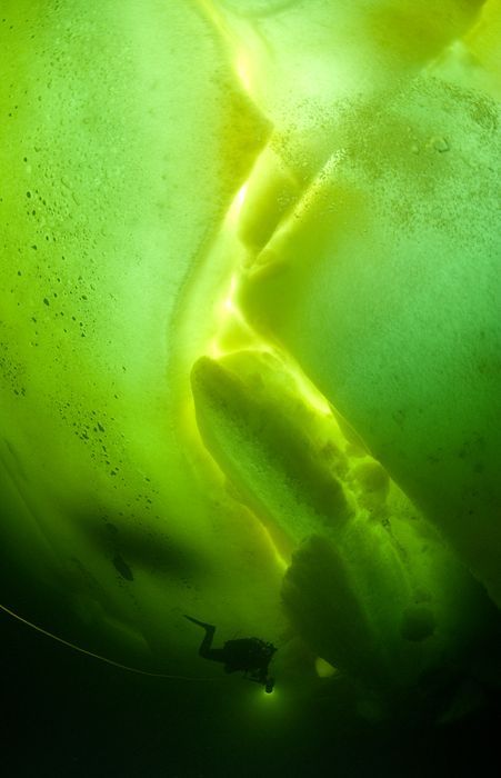
Underwater World With Natalia Avseenko, The White Sea, Russia
|
The International Hydrographic Organization defines the northern limit of the White Sea as "A line joining Svyatoi Nos (Murmansk Coast, 39°47'E) and Cape Kanin".
• Topography
There are four main bays or gulfs on the White Sea. These bays connect with the funnel-shaped opening to the Barents Sea via a narrow strait called "gorlo" (Russian: Горло, meaning "throat"). Kandalaksha Gulf lies in the western part of the White Sea; it is the deepest part of the sea, reaching 340 metres (1,115 feet). On the south, Onega Bay receives the Onega River. To the southeast, the Dvina Bay receives the Northern Dvina River at the major port of Arkhangelsk. On the east side of the 'gorlo', opposite the Kola peninsula, is Mezen Bay. It receives the Mezen River. Other major rivers flowing into the sea are the Vyg, Niva, Umba, Varzuga and Ponoy.
The seabed of the central part and Dvina Bay is covered in silt and sand, whereas the bottom of the northern part, the Kandalaksha Gulf and Onega Bay is a mixture of sand and stones. Ice age deposits often emerge near the sea shores. Northwestern coasts are tall and rocky but the slope is much weaker at the southeastern side.
|
|