|
|
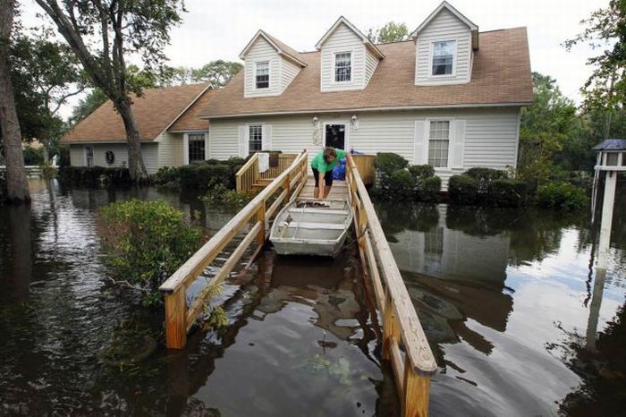
Hurricane Irene 2011, Atlantic, Caribbean
|
In New York City, the Hudson River flooded, starting at approximately 8:50 a.m., into Zone B as well as Zone A, mostly in the Meatpacking District along the Hudson River in Manhattan. At 9:15, the northern end of the Holland Tunnel closed. As of 9:20, the flooding was at about a foot deep. Water rose over portions of the Hudson Line north of New York City, and the tracks were blocked by mudslides in several places. Flooding of the Ramapo River has led both Metro-North and NJ Transit to suspend service on the Port Jervis Line north of Suffern indefinitely.
Irene was downgraded to a tropical storm at about 9:00 a.m. on August 28. One person in the Bronx, New York City, drowned at a lagoon during the storm.
Another fatality occurred on the south shore of Long Island, when a windsurfer drowned in Bellport Bay. Just north of New York City, one person was killed when an inflatable boat capsized on the Croton River, while another man suffered electrocution from downed wires in Spring Valley. A woman drowned in a flooded creek while evacuating her home in New Scotland, just southwest of the capital Albany.
Disastrous flash floods occurred in the Catskill Mountains of New York State, particularly in the town of Margaretville. An elderly woman drowned in creek flooding at Fleischmanns, also located in the Catskills. Record flooding along the Schoharie Creek, was reported to have destroyed the Old Blenheim Bridge, a 156-year-old covered bridge that had been designated a National Historic Landmark. Prattsville's Main Street has been described as "a total loss" by its town supervisor.
|
|