|
|
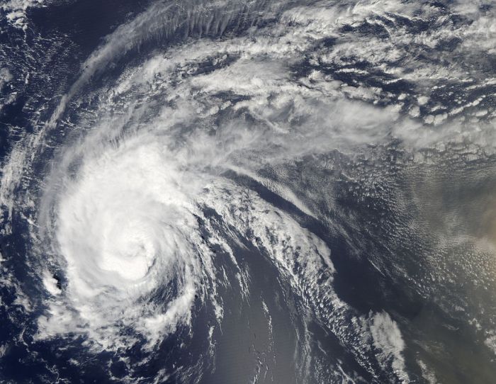
Hurricane Irene 2011 From Space
|
Gales from Irene affected much of the Eastern Seaboard, extending from Florida to New England and as far inland as Pennsylvania. The winds, combined with soil saturation due to the extreme amounts of precipitation, uprooted countless trees and power lines along the storm's path; roughly 7.4 million power customers in the dark nationwide, some for extended periods of time. Coastal areas suffered extensive flood damage followings its potent storm surge, with additional freshwater flooding reported in many areas. The storm spawned scattered tornadoes, causing significant property damage as evidenced by destroyed homes. In the northeastern region, more than ten rivers measured record flood heights at their hydrographs. Hundred-year flood conditions in rivers of at least six US states, while the Christian Science Monitor described flooding in Greene County, New York as five-hundred-year-flood conditions. Throughout its path in the contiguous United States, Irene is estimated to have caused up to $7 billion (2011 USD) in damage and at least 40 deaths, with the death toll still reportedly rising as of August 29.
• Florida and South Carolina
Though Irene spared Florida from a direct hit, its outernmost rainbands produced squalls and intermittent torrents along the state's eastern coastlines. Brisk winds produced scattered power outages and waves reaching as high as 12 ft (3.7 m); rough surf in the Boynton Inlet injured at least eight people, and two surfers were killed offshore Volusia County. Elsewhere in Lantana, large waves sweeping over seawalls went on to destroy a lifeguard tower. Localized beach erosion was also reported, although it was not significant. Onshore, comparatively light winds brushed the state; the Lake Worth pier reporting a peak gust of 40 mph (65 km/h), with the Palm Beach International Airport recording winds of no more than 31 mph (50 km/h). Precipitation in the area was also light, with a peak accumulation of 2.67 inches (68 mm) recorded at Fort Lauderdale Executive Airport. Further north in Melbourne, rainfall from the storm totaled no more than 1.31 inches (33 mm) on August 24.
Owing to its unusually large windfield, Irene affected long stretches of South Carolina coastlines with gusts and sporadic showers, even though it remained offshore. Gale-force winds picked up through the Lowcountry during the afternoon of August 26, with a gust of 55 mph (89 km/h) measured at a coastal marine observing site on Folly Island. Scattered power outages left over 4,000 residences in the dark, mostly due to toppled utility poles. The winds also felled trees and generated rough surf along Charleston County coastlines, and minor beach erosion was noted. Elsewhere in that county, a downed tree trapped several people in their vehicle, but they were all rescued.
|
|