|
|
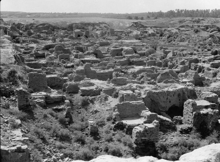
History: Old Iraq
|
Geography
Iraq lies between latitudes 29° and 38° N, and longitudes 39° and 49° E (a small area lies west of 39°). Spanning 437,072 km2 (168,754 sq mi), it is the 58th-largest country in the world. It is comparable in size to the US state of California, and somewhat larger than Paraguay.
Iraq mainly consists of desert, but near the two major rivers (Euphrates and Tigris) are fertile alluvial plains, as the rivers carry about 60,000,000 m3 (78,477,037 cu yd) of silt annually to the delta. The north of the country is mostly composed of mountains; the highest point being at 3,611 m (11,847 ft) point, unnamed on the map opposite, but known locally as Cheekah Dar (black tent). Iraq has a small coastline measuring 58 km (36 mi) along the Persian Gulf. Close to the coast and along the Shatt al-Arab (known as arvandrūd: اروندرود among Iranians) there used to be marshlands, but many were drained in the 1990s.
The local climate is mostly desert, with mild to cool winters and dry, hot, cloudless summers. The northern mountainous regions (Kurdistan region ههرێمی کوردستان) have cold winters with occasional heavy snows, sometimes causing extensive flooding.
|
|