|
|
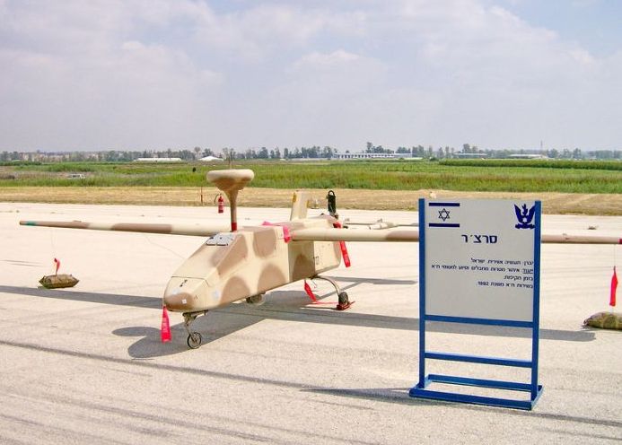
Unmanned Aerial Vehicle (UAV)
|
Aerial surveillance of large areas is made possible with low cost UAV systems. Surveillance applications include: livestock monitoring, wildfire mapping, pipeline security, home security, road patrol and anti-piracy. The trend for use of UAV technology in commercial aerial surveillance is expanding rapidly.
• Oil, gas and mineral exploration and production
UAVs can be used to perform geophysical surveys, in particular geomagnetic surveys where the processed measurements of the differential Earth's magnetic field strength are used to calculate the nature of the underlying magnetic rock structure. A knowledge of the underlying rock structure helps trained geophysicists to predict the location of mineral deposits. The production side of oil and gas exploration and production entails the monitoring of the integrity of oil and gas pipelines and related installations. For above-ground pipelines, this monitoring activity could be performed using digital cameras mounted on one, or more, UAVs. The InView Unmanned Aircraft System is an example of a UAV developed for use in oil, gas and mineral exploration and production activities.
|
|