|
|
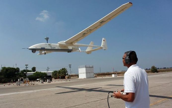
Unmanned Aerial Vehicle (UAV)
|
• Oil, gas and mineral exploration and production
UAVs can be used to perform geophysical surveys, in particular geomagnetic surveys where the processed measurements of the differential Earth's magnetic field strength are used to calculate the nature of the underlying magnetic rock structure. A knowledge of the underlying rock structure helps trained geophysicists to predict the location of mineral deposits. The production side of oil and gas exploration and production entails the monitoring of the integrity of oil and gas pipelines and related installations. For above-ground pipelines, this monitoring activity could be performed using digital cameras mounted on one, or more, UAVs. The InView Unmanned Aircraft System is an example of a UAV developed for use in oil, gas and mineral exploration and production activities.
• Transport
UAVs can transport goods using various means based on the configuration of the UAV itself. Most payloads are stored in an internal payload bay somewhere in the airframe. For many helicopter configurations, external payloads can be tethered to the bottom of the airframe. With fixed wing UAVs, payloads can also be attached to the airframe, but aerodynamics of the aircraft with the payload must be assessed. For such situations, payloads are often enclosed in aerodynamic pods for transport.
|
|