|
|
Yellowstone National Park, Wyoming, Idaho, Montana, United States
|
Geography
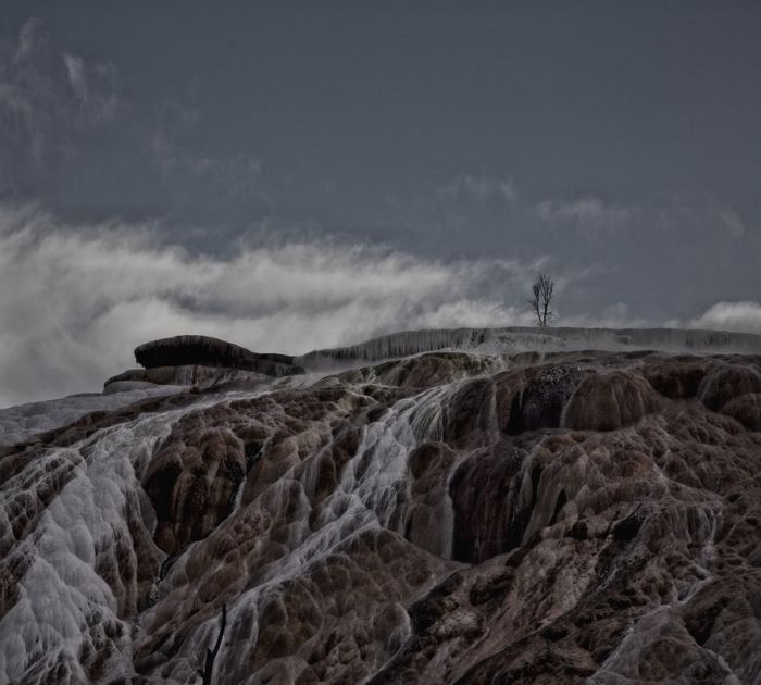
Approximately 96 percent of the land area of Yellowstone National Park is located within the state of Wyoming. Another 3 percent is within Montana, with the remaining 1 percent in Idaho. The park is 63 miles (101 km) north to south, and 54 miles (87 km) west to east by air. Yellowstone is 2,219,789 acres (898,317 ha; 3,468.420 sq mi) in area, larger than the states of Rhode Island or Delaware. Rivers and lakes cover 5 percent of the land area, with the largest water body being Yellowstone Lake at 87,040 acres (35,220 ha; 136.00 sq mi). Yellowstone Lake is up to 400 feet (120 m) deep and has 110 miles (180 km) of shoreline. At an elevation of 7,733 feet (2,357 m) above sea level, Yellowstone Lake is the largest high altitude lake in North America. Forests comprise 80 percent of the land area of the park; most of the rest is grassland.
The Continental Divide of North America runs diagonally through the southwestern part of the park. The divide is a topographic feature that separates Pacific Ocean and Atlantic Ocean water drainages. About one third of the park lies on the west side of the divide. The origins of the Yellowstone and Snake Rivers are near each other but on opposite sides of the divide. As a result, the waters of the Snake River flow to the Pacific Ocean, while those of the Yellowstone find their way to the Atlantic Ocean via the Gulf of Mexico.
|
|