|
|
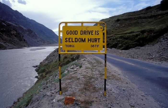
Leh–Manali Highway Road Signs, Jammu - Kashmir - Himachal Pradesh States, India
|
4: Gramphu to Kokhsar, the first village north of Rohtang Pass 6 km (3.7 mi). Foreign nationals have to show their passports with valid visa at the police check post. (Anyone can visit Leh freely. However, special permission is needed to visit some restricted areas beyond Leh. This permit can be obtained at Leh.)
5: Kokhsar to Sissu at 3,130 m (10,270 ft) elevation 25 km (16 mi). There is a helipad at Sissu.
6: Sissu to Tandi at 2,570 m (8,430 ft) elevation 8 km (5.0 mi). Tandi is situated at the bottom of the river valley at the confluence of the Chandra river and the Bhaga river (flowing down from north) which merge to form the Chandra-Bhaga river (that later becomes known as Chenab downstream in Jammu and Kashmir). Cross the Bhaga river over the bridge towards the right, take the right turn at the fork and the road again starts climbing.
7: Tandi to Keylong at 3,080 m (10,100 ft) elevation 9 km (5.6 mi).
|
|