|
|
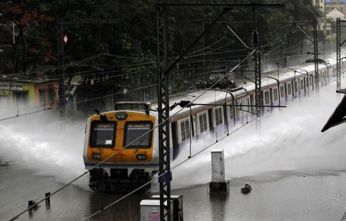
2013 Floods, Uttarakhand, Himachal Pradesh, North India
|
India accounts for one fifth of the deaths caused due to flooding across the world. Twenty-four out of the 35 States and Union Territories are vulnerable to disasters and over 5 percent of our landmass is vulnerable to floods. Annually, an average of about 18.6 million hectares of land area and 3.7 million hectares crop area are affected by flooding. The report of the 12th Five-Year Plan working group on ‘Flood Management and Region Specific Issues’, shows Uttarakhand’s flood vulnerabilities. Until March 2011, it included the coverage of 2000 hectares, compared to 18000 hectares in Himachal Pradesh. The state has created 9 km of embankment, a fraction of the 159.16 km completed in Himachal Pradesh; it has no drainage channels, whereas Himachal has constructed 11 km While 82 Himachal villages were protected through the raising of the ground level, none of the villages in Uttarakhand received such protection.
In 1976, the Government of India set up the National Flood Commission (Rashtriya Barh Ayog) “to evolve a coordinated, integrated and scientific approach to the flood control problems in the country and to draw out a national plan fixing priorities for implementation in the future.” Though the RBA report was submitted in 1980 and accepted by Government, not much progress seems to have been made in the implementation of its recommendations.
In 1997, the Building Materials and Technology Promotion Council created a ‘Vulnerability Atlas’ that mapped the extents of the disaster prone areas of the country. In light of fresh census data after 2001, it called for greater public awareness and the need for legislation that affected town planning, ‘techno-legal regimes’ for land use zoning in vulnerable areas, protection of critical buildings used by the public and, most significantly, the empowerment of local bodies to exercise control.
The National Disaster Management Authority (NDMA), the supreme disaster management agency in the country set up through the Disaster Management Act of 2005, published guidelines for Management of Floods in 2008. In its thorough assessment of measures required in the short and long term, it highlighted the ‘Immediate’ requirement for (i) identification of flood prone villages, blocks, tehsils and districts on national, state and district level maps, (ii) amendment of building bylaws to make future buildings in flood prone areas flood-safe, and (iii) “notification of regulation for prohibiting reclamation of wetlands and natural depressions”. The immediacy of its recommendations has been consigned to the scrapheap, although they form the bedrock of most recommendations about disaster mitigation.
|
|