|
|
Clouds Formation
|
• Physical categories
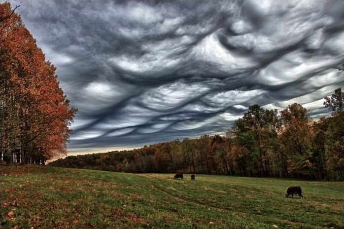
As established by Howard, cloud types or genera are grouped into three physical categories: cirriform, cumuliform or convective, and stratiform. These designations distinguish a cloud's physical structure and process of formation. All weather related clouds form in the troposphere, the lowest major layer of the Earth's atmosphere.
Cumuliform-category clouds are the product of localized convective or orographic lift. If the airmass is only slightly unstable, clouds of limited convection will form that show both cumuliform and stratiform characteristics. If a poorly organized weather system is present, weak intermittent precipitation may fall from these clouds. With greater airmass instability caused by a steeper temperature gradient from warm or hot at surface level to cold aloft, clouds of free convection will form and rise to greater heights, especially if associated with fast moving unstable cold fronts. Large free-convective clouds can produce light to moderate showers if the airmass is sufficiently moist. The largest free-convective cumuliform types produce thunderstorms and a variety of types of lightning including cloud-to-ground that can cause wildfires,. Other convective severe weather may or may not be associated with thunderstorms and include heavy rain or snow showers, hail, strong wind shear, downbursts, and tornadoes.
Stratiform-category clouds generally form as the result of non-convective lift of relatively stable air, especially along slow moving warm fronts, around areas of low pressure, and sometimes along stable slow moving cold fronts. Precipitation is generally steady and widespread, with intensity varying from light to heavy according to the thickness of the stratiform layer as determined by moisture content of the air and the intensity of the weather system creating the clouds and weather. Low stratiform clouds can also form in precipitation below the main frontal cloud deck where the colder air is trapped under the warmer airmass being force above by the front. Non-frontal low stratiform cloud can form when advection fog is lifted above surface level during breezy conditions.
|
|